Discover a new side to the city’s iconic sceneries and landscapes while you explore the scenic hiking trails of Hong Kong!
Fresh air and the great outdoors is always a good idea when we need a change of perspective! Experience another side of Hong Kong’s beauty from what we’re used to on exciting trips through the city’s hiking trails. Frequent hikers often like to explore the four main Hong Kong Hiking trails, which include the Hong Kong Trail, the Lantau Trail, the Maclehose Trail, and the Wilson Trail. However, we’ve got you covered with a list of trails to venture off to, ranging from the popular ones to the hidden gems of Hong Kong’s wilderness!
12 Hiking Trails in Hong Kong For A Scenic Escape
- Ngong Ping Trail in Ngong Ping
- Finger Hill Trail in Peng Chau
- Dragon’s Back Trail in Shek O
- Sunset Peak Trail in Lantau Island
- Bride’s Pool Trail in Plover Cove Country Park
- Devil’s Peak Trail in Lei Yue Mun
- Tai Mo Shan Hiking Trail in Tai Mo Shan
- Lion Rock Hiking Trail in Sha Tin
- Lantau Peak Trail in Lantau Island
- High Junk Peak Trail in Sai Kung
- Sok Kwu Wan Trail in Lamma Island
- Cape D’ Aguilar Trail in Shek O
1. Ngong Ping Trail in Ngong Ping
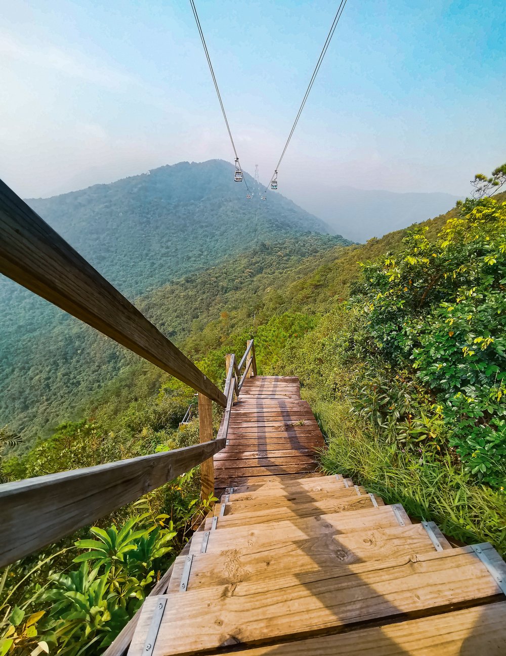
If you’ve gone on the Ngong Ping Cable Car, you’ve probably seen this trail below you as you traveled up to the popular attraction. The Ngong Ping Trail, known before as the Ngong Ping 360 Rescue Trail, was used for the rescue and maintenance of the attraction of the same name. Once the cable car system was constructed, the trail was paved with wooden boards for hikers to enjoy a different way to travel between Tung Chung and Ngong Ping.
Hikers usually take around 4 hours to complete the 5.7km climb up to the peak, with the starting point of the hike being 1km from the ground level of cable tower no.3. At the highest point of the trail, Nei Lak Shan angled station, you’ll be treated to an unforgettable view of the blue skies and mountainous terrain of the area. The trail ends with the iconic Big Buddha in plain sight – the satisfying end to your Ngong Ping Trail experience.
Ngong Ping Trail
How to get there: From Central, take the Tung Chung Line to Tung Chung Station (Exit A). Head to Yat Tung Estate via Shan Tung Road and Yu Tung Road. From there, head past Yat Tung Estate to the start of Tung O Ancient Trail. Hike 10 minutes and the start of the Ngong Ping Trail will be on the left.
2. Finger Hill Trail in Peng Chau
To those who prefer to take it easy, you can try out the beginner-friendly hiking trail at Finger Hill in Peng Chau. The 312 ft tall hill is usually a 45 minutes-long trek through the Family Trail, which boasts scenic views of Lamma Island, Southside, Disneyland, and Discover Bay.
Another trail to consider is the Peng Yu Path. The concrete trail takes you through ocean views as you travel up and ends the hike at the remote beach, Old Fisherman’s Rock. We recommend scheduling your hike in the late afternoon for a picturesque view of the sunset over Peng Chau.
Finger Hill Trail
How to get there: From Central take a ferry to Peng Chau. When you reach the ferry pier, head to Wing On Street and Shing Ka Road. Turn Right to Shing Ka Road and before you reach the end turn left onto Nam Shan Road. At the end of Nam Shan Road, you’ll spot the signs to Finger Hill.
3. Dragon’s Back Trail in Shek O
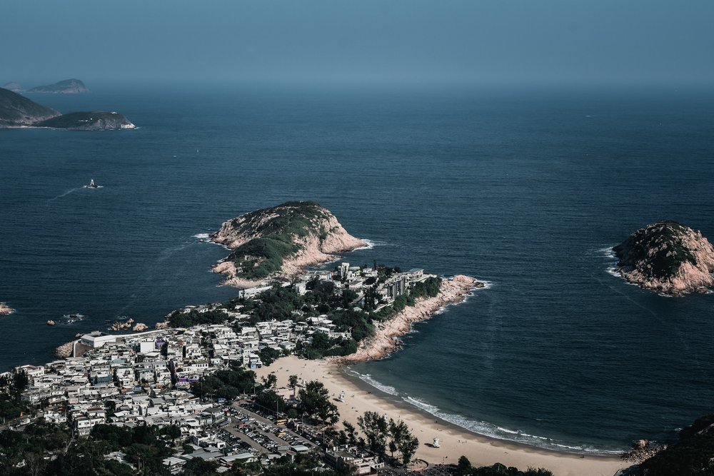
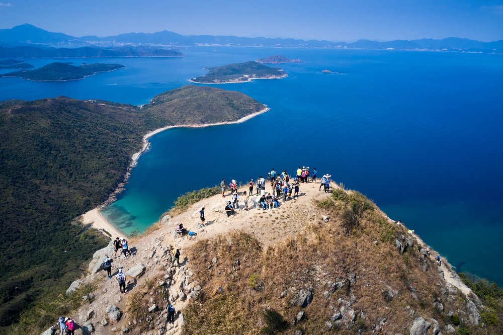
Considered to be part of the best urban hiking trails in Hong Kong, Dragon’s Back Trail should be on every hiker in the city’s list! Located in Shek O, the popular hiking spot is favored by both locals and tourists for its accessibility from the city and moderate difficulty level. Make your way from Shek O Road near Tei Wan Village and head up 284 meters to Shek O Peak’s sightseeing platform! At the top, you’ll be able to witness the awe-inspiring view of the coastal landscapes of Shek O, Tai Long Wan, and Tung Lung Island.
Dragon’s Back Trail
How to get there: From MTR Shau Kei Wan Station (Exit A), walk to the Shau Kei Wan Bus Terminus. Take bus 9 or the minibus with the sign ‘Shek O’ next to the bus terminus. Get off at To Tei Wan, Shek O Road.
Klook tip: For those who also want to go out for a dip can pack their swim gear because the hiking trail ends at Hong Kong’s surfing paradise - Big Wave Bay!
4. Sunset Peak Trail in Lantau Island
A romantic view of the city at night and a milestone climb up the third-highest peak of Hong Kong is what you’ll get with a trip to Sunset Peak in Lantau Island. The 529m ascent is quite a challenge, making it a more advanced trail to conquer compared to the others on the list. But despite this, the twilight views at the peak of the Lantau coastline and Pui O makes the journey unforgettable.
We suggest climbing to the peak in the mid-afternoon to give yourself enough time to reach the top, enjoy the sunset view, and head back before dark.
Sunset Peak Trail
How to get there: Head to MTR Tung Chung Station (Exit B). From the bus terminus next to the MTR station, take bus 11A to Pak Kung Au. Alternatively, you can also take bus 3M to Pak Kung Au from the Mui Wo bus terminal if you take a ferry to Mui Wo. Once at Pak Kung Au, turn left to the pavilion and start the Lantau Trail.
5. Bride’s Pool Trail in Plover Cove Country Park
Venture into the woodland forest of Plover Cove Country Park for an exciting hike on the Bride’s Pool Trail - your gateway to one of Hong Kong’s famed waterfalls. The hiking trail, located in the northeastern part of New Territories, is an easy 860m looped trail that requires you to make a 700m detour for those who want to visit the waterfalls. On the journey, you’ll also be able to pass by the Mirror Pool waterfall and the Bride’s Pool Stone Bridge – scenic locations that will surely add more color to your Instagram feed!
Families figuring out what to do on a free day can start their journey with a picnic at the Bride’s Pool Barbecue Site in the south side of the area to fuel up before the hike!
Bride’s Pool Trail
How to get there: There are multiple routes to the trail from the Tai Po Market MTR Station. By minibus, take the green minibus 2R heading to Bride’s Pool Road and get off at Bride’s Pool bus terminal stop. Hikers heading there on a Sunday can take the day bus 275R (only available on this day) between Tai Po Market Station and Bride’s Pool bus terminus. On Bride’s Pool Road there are two entrances available, the Bride’s pool Nature Trail (north side) and Bride’s Pool Barbecue Site (south side.
6. Devil’s Peak Trail in Lei Yue Mun
Though the name may sound ferocious, a trip uphill Devil’s Peak Trail is a fairly easy hike in Hong Kong. It’s great for those who are looking to retreat to nature but still prefer to stay close to the city. Before it adopted the title of one of the most popular recreational spots in the city, Devil’s Peak Trail was home to pirates during the Ming Dynasty and later on became a British military base in the 20th century.
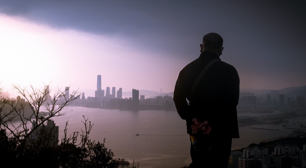
Hikers can enjoy a short but steep climb to the top of Devil’s Peak to be able to stand 222m above the city. On one side of the peak, you can enjoy views of Victoria Harbour and the iconic city skyline, while on the other side you can appreciate Junk Bay and LOHAS Park.
Devil’s Peak Trail
How to get there: From Domain Mall, exit to Ko Chiu Road then towards Lei Yue Mun Estate. Walk up to the Tseung Kwan O Chinese Permanent Cemetery until you reach the start of the Wilson Trail and follow the signs to Devil’s Peak.
7. Tai Mo Shan Hiking Trail in Tai Mo Shan
Ever wondered what it’s like to climb a volcano? Wonder no more and check out the Tai Mo Shan Hiking Trail! The now-extinct volcano is Hong Kong’s highest peak and can be climbed on a whopping 957m journey! Start off the uphill climb at Tai Mo Shan Road, located nearby Rotary Park, one of the popular cherry blossom viewing spots from February to March.
When you reach the peak, feel as though you’re on a bed of clouds as you roam around at the top to enjoy different angles of Kowloon reservoir, Tsuen Wan, and maybe even mainland China's scenic views!
Tai Mo Shan Trail
How to get there: Head to MTR Tsuen Wan Station (Exit A) and take bus 51 to Country Park Station. You can also choose to get off at Kwai Hing or Tai Wo Hau Station on the red line and take a cab to Lead Mine Pass.
8. Lion Rock Hiking Trail in Sha Tin
Klook fun fact: The Lion Rock formation is believed to embody the spirit of the Hong Kong People!
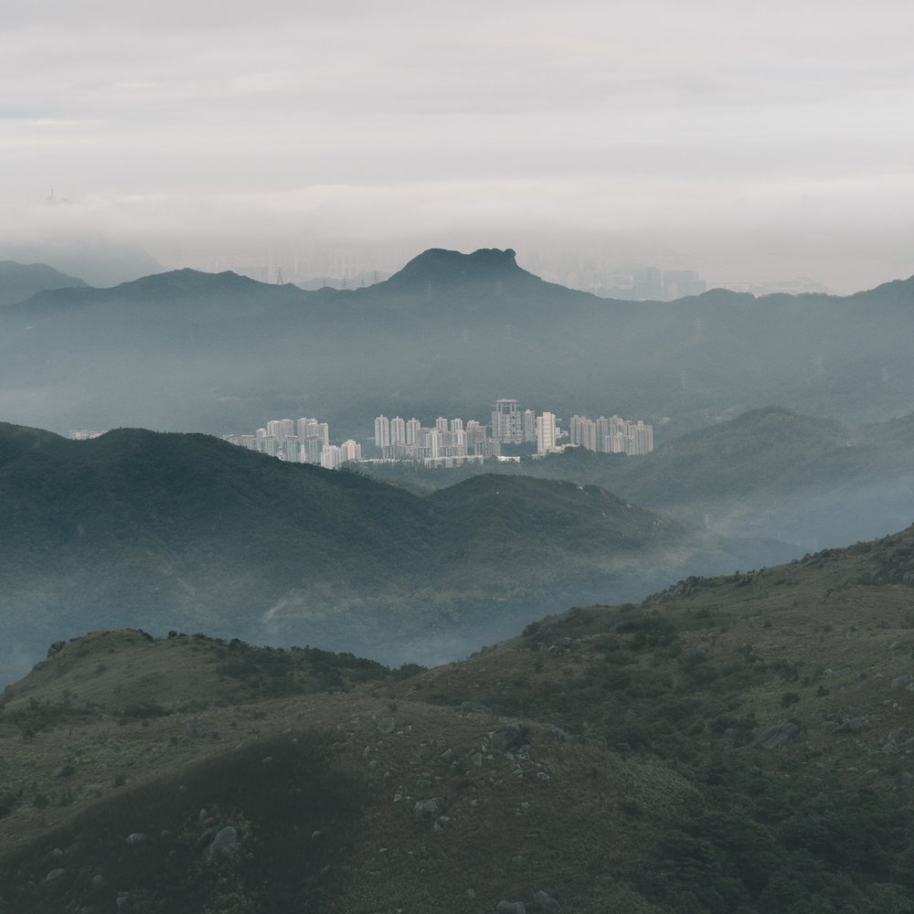
What better way to experience this spirit than through a hike to see this historic landmark? The trip up to the iconic rock formation is known as one of the most iconic hikes in Hong Kong, which is why it’s recommended for those looking for a challenge. Seasoned hikers consider the trail’s difficulty level to be moderate due to the steep incline ascent and a mix of terrain to cover during the trek, which includes paved paths, make-shit staircases, and natural trails. The scenery at its peak of 495m is no doubt unforgettable, rewarding hikers with unobstructed 360-degree views of Kowloon, Hong Kong Island, and the New Territories.
Expect minimal shade and bring sunscreen for this hike!
Lion Rock Trail
How to get there: From Wong Tai Sin Station (Exit B3), take minibus 18M and get off at Temple Hill Fat Jong Temple. Walk uphill to the entrance of Lion Rock Country Park
9. Lantau Peak Trail in Lantau Island
Another hiking trail on Lantau Island is the Lantau Peak Trail. With the peak located 934m high from the base, hikers can enjoy the rising or setting sun over rural villages surrounded by scenic mountainscapes. One thing to keep in mind about the trail is that the descent can get quite steep, so don’t hesitate to take it slow.
For the best views, we recommend scheduling your hikes 2 hours before either sunrise or sunset to give you enough time to reach the peak. For those looking to experience the sunrise at Lantau Peak, we suggest a hike during the months of December and February for fewer clouds to obstruct your view of daybreak.
Lantau Peak Trail
How to get there: Head to MTR Tung Chung Station (Exit B). From the bus terminal next to the MTR station, go on a 50-minute ride on bus 23 and get off at Pak Kung Au.
10. High Junk Peak Trail in Sai Kung
Head to one of the three sharpest peaks in the area with a trek up High Junk Peak in Sai Kung. From Ng Fai Tin, hikers start the climb up the High Junk Peak Country Trail, which include the sceneries of Tseung Kwan O and Sheung Sze Wan during the ascent. The last leg of the hike can get a bit tricky with the section near the peak getting steeper and rockier. For an alternative - the country trail is available and far less daunting.
The 8.5km challenging trail usually takes hikers 3.5 hours to accomplish, but the stunning panoramic bird’s eye view of Clear Water Bay is worth the trip!
High Junk Peak Trail
How to get there: From Diamond Hill Station, take Exit C2 and ride the bus to Ng Fai Ti. From Hang Hau Station, take Exit B1 and to the bus terminal. Ride green minibus 103 and get off at Ng Fai Ti.
Klook tip: Adventurers also into mountain biking can try out the mountain bike trail open during the weekdays. Strap on your protective gear during the steep ride!
11. Sok Kwu Wan Trail in Lamma Island
Sok Kwu Wan Trail in Lamma Island is one to try if you’re looking to experience a different kind of hiking trail! Sok Kwu Wan, with its circular-shaped trail, is often called the Lamma Island Loop. Its 10km path extends from the southern part of the island, starting from Sok Kwu Wan to Mo Tat Wan, Yung Shue Ha, Tung O, and back again to Sok Kwu Wan.
The landscapes and villages you’ll pass by during your hike make the adventure even more exciting! Make a stop at the small village of Mo Tat Wan for a much-needed break then continue on to Yung Shue Ha for some beach fun. One thing is for sure - no matter where you stop, you’ll be guaranteed stunning views of the sea, Lamma Island, and Hong Kong’s south side.
Sok Kwu Wan Trail
How to get there: Take a ferry from Central Pier 4 to Sok Kwu Wan. You can also choose to take a kai-to (small ferry) from Aberdeen to Sok Kwu Wan and get off at Mo Tat Wan to start your hike.
12. Cape D’Aguilar Trail in Shek O
Another beginner-friendly hike on the list and one shutterbugs should keep on their radar is the Cape D’Aguilar Trail! The popular hiking trail is known for its Instagram-worthy sceneries and popular natural attractions like the Thunder Cave. Hikers begin the journey at Cape D'Aguilar Marine Reserve and head off on an 8km hike that usually takes 3.5 hours to finish. A good majority of the hike is traveled on paved roads and flat land which makes it an easy route for all hiking levels.
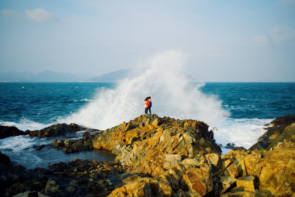
One of the most iconic photo spots during the hike is at Crab Cave, where you can capture the crashing waves as your backdrop, so don’t forget your camera!
Cape D’ Aguilar Trail
How to get there: From Shau Kei Wan MTR Station (Exit A3), head to the bus terminal and hop on bus 9 to Cape D’ Aguilar and Shek O.

